Final route details and downloadable GPX files will be added here once confirmed – early April 2027.
Kielder is a working forest and the route is subject to change at short notice. The 2026 gpx route examples are available via the link for reference – this opens in RidewithGPS and may need a subscription.
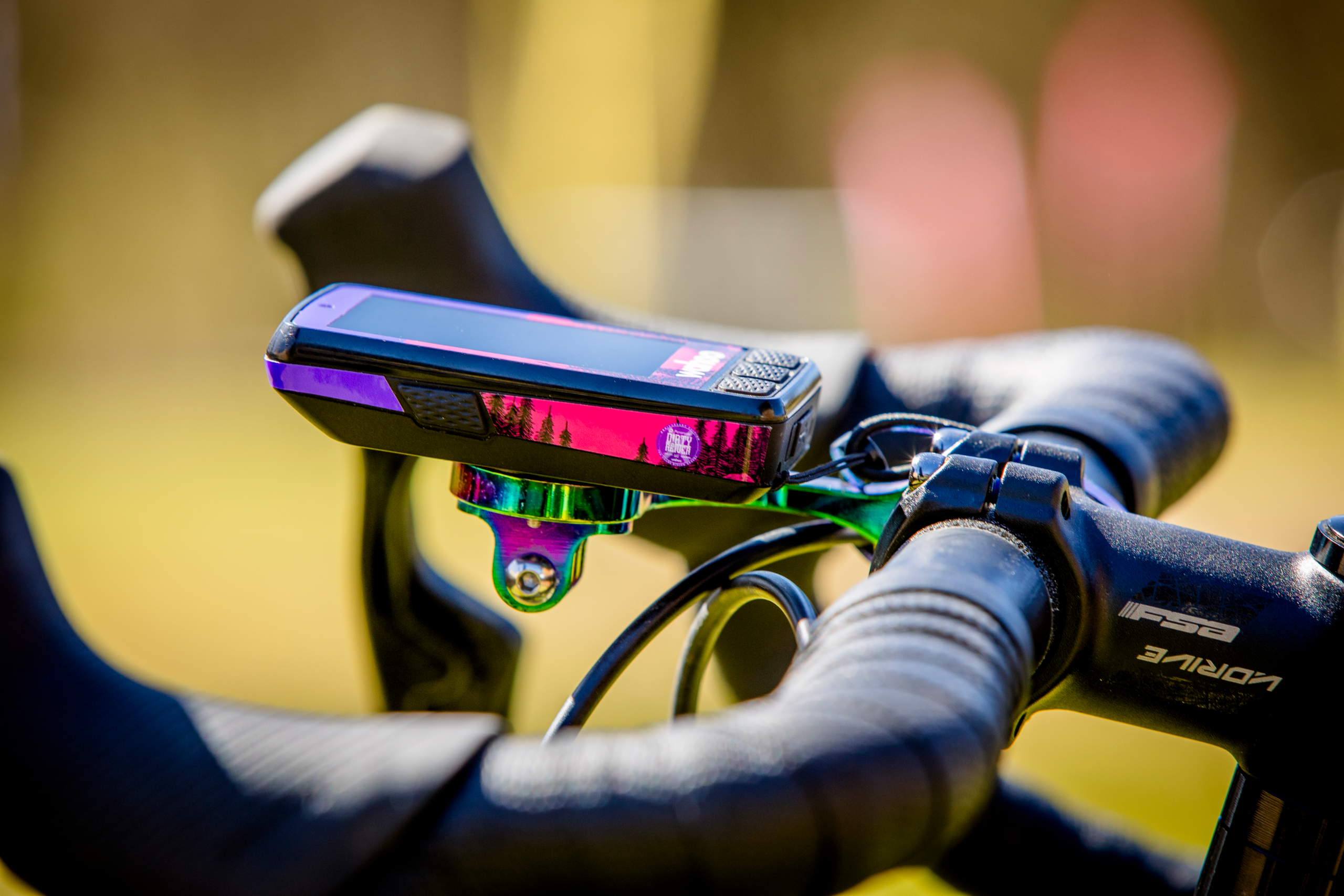
The 200km, 130km and 65km routes are all fully signed and riders can complete the event without any navigational aid. The 280km route utilises GPX only for the first 80km, it then follows the 200km route and is fully marked.
Fully downloadable GPX* files available April 2027
Marked courses to support route finding
Please note: downloaded files can be altered by gpx software to 'known' routes. This can alter the ride and we recommend disabling this function.
Travel & Access
Getting to Kielder
Travel, parking and places to stay for the weekend.